The Benefits of Adding Drone Video and Footage to Your Real Estate or Landscape Design Business
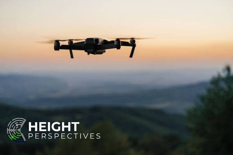
The use of drones in real estate and landscape design is becoming a game-changer, offering unprecedented views and visual experiences for potential buyers and clients. The ability to capture stunning aerial shots, immersive virtual tours, and dynamic before-and-after perspectives elevates your business, giving you a competitive edge. Height Perspectives, a leading local drone services provider, combines cutting-edge technology with professional expertise to bring numerous benefits to the table. Let’s explore why adding drone video and footage to your real estate or landscape design business can significantly enhance your success.
1. Unique Perspective: Captivating Aerial Views
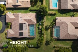
One of the biggest advantages of incorporating drone video and footage is the unique perspective it provides. Unlike traditional ground-level photography, drone footage offers an impressive bird’s-eye view that can capture the full essence of a property or landscape design. From large commercial properties to intricate garden designs, the ability to see a project from above reveals elements that are difficult to convey through traditional methods.
For real estate professionals, drone footage gives potential buyers an accurate layout of the property, including the surrounding areas, amenities, and key features. This allows buyers to visualize how a property fits into the landscape and makes it more appealing. Similarly, for landscape designers, aerial footage helps clients grasp the entirety of a design plan—be it a sprawling estate garden or a newly designed outdoor space. The ability to view the overall flow, layout, and beauty from an elevated position can make all the difference in helping clients envision the final product.
2. Talented Drone Pilot with Impeccable Safety Record
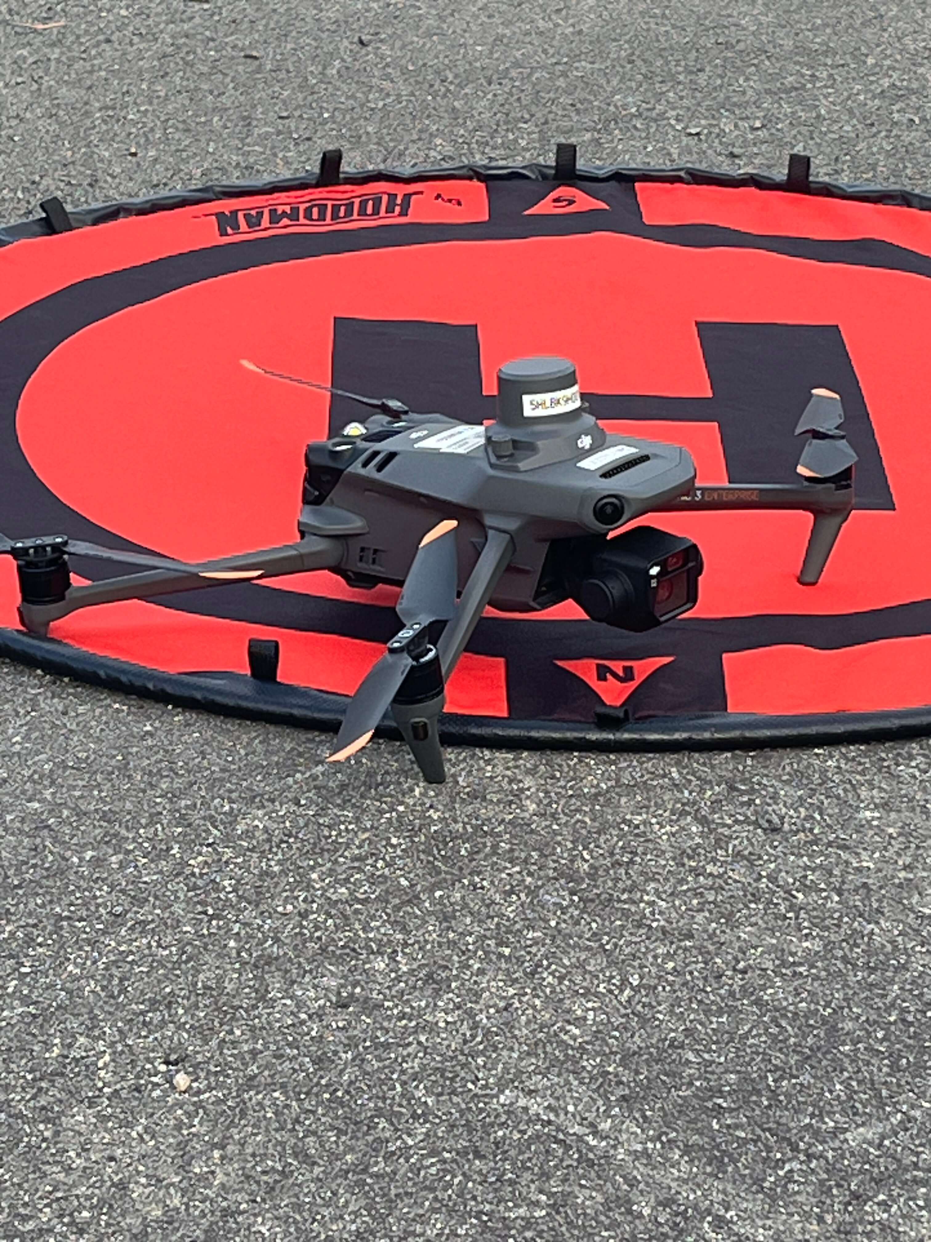
Using drones for your business requires expertise to ensure the best possible outcome. Height Perspectives takes pride in employing FAA-Certified, Part 107 drone pilots with a wealth of experience in aerial operations and safety protocols. With an impeccable safety record, we ensure that each flight is conducted with professionalism, careful planning, and adherence to regulations.
The expertise of a talented drone pilot not only ensures safety but also allows for the creative capturing of footage. An experienced pilot can skillfully maneuver a drone to create dynamic shots, flyovers, and panoramic views that are otherwise impossible. This combination of creative expertise and safe operation ensures that the footage you receive is not only visually stunning but also acquired without risk or liability concerns.
3. Real-Time Positioning and Quick Turnaround
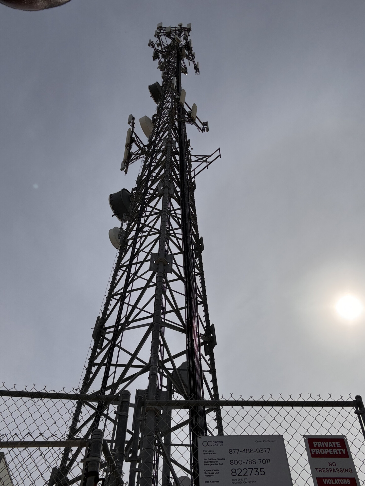
Another significant benefit of using Height Perspectives for your real estate or landscape design business is real-time positioning and expedited production. The integration of advanced GPS and real-time data systems ensures that the footage and images captured are precise, accurate, and of the highest quality. For real estate properties, this means you can display accurate dimensions, proximity to amenities, and features that make the property unique.
Height Perspectives prides itself on quick turnaround times, often delivering high-quality footage and data within 24-48 hours of acquisition. In a fast-paced industry like real estate, where time is of the essence, this rapid service allows you to showcase properties to potential buyers without delay, helping you close deals faster.
Popular Services Height Perspectives Offers:
Height Perspectives not only offers stunning drone footage but also provides a variety of other valuable services that can take your business to the next level.
1. Mapping Services
For large-scale projects, whether in real estate or landscape design, having accurate mapping is crucial. Height Perspectives provides high-resolution aerial mapping, which allows property developers, landscape designers, and planners to get a detailed look at the land they are working with. These maps help with strategic planning, zoning, and visualization, ensuring that all parties involved have an accurate understanding of the area.
2. AI Rendering for Virtual Experiences
Height Perspectives offers AI rendering for virtual experiences, allowing clients to visualize a property or design before any construction takes place. Using advanced technology, we create immersive virtual tours that give potential buyers or clients an idea of what a property will look like when completed. This service is especially useful for new constructions or landscape renovations, as it helps clients envision the end result. It also acts as a powerful marketing tool for real estate agents who want to showcase properties that are still under construction or in the planning phase.
3. Before and After Photos
One of the most popular services for landscape design projects is our before and after photo capture. With the help of skilled drone operators, Height Perspectives provides a visual timeline of a project’s development. The ability to show clients the transformation of a landscape from beginning to end is powerful. Not only does it build confidence in your work, but it also creates a visual portfolio that highlights your expertise and the high-quality results you deliver.
Enhance Your Business with Height Perspectives
Incorporating drone video and footage into your real estate or landscape design business offers an array of benefits that cannot be ignored. From capturing unique aerial perspectives to providing safe and professional operations, Height Perspectives is here to help you elevate your business. Whether you’re looking for real-time data, immersive virtual experiences, or detailed before-and-after imagery, our drone services are designed to provide you with impactful visuals that leave a lasting impression on your clients.
If you’re ready to enhance your real estate or landscape design business with state-of-the-art drone footage, reach out to Height Perspectives today. With our talented team, cutting-edge technology, and commitment to quality, we are your trusted partner in bringing stunning aerial imagery to life.

